
Go/No-Go · Helicopter
A briefing built for how helicopters really fly
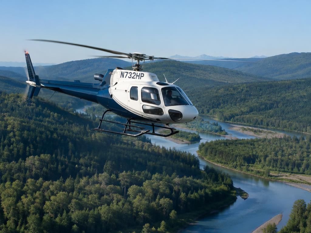
Low and slow, off-airport, offshore or on a scene call. The briefing looks at the towers, wires, decks and weather that matter below 3,000 ft.
What the briefing covers
Obstacle map along your route
Towers 200 ft and taller shown by height near your line, with lighting and distance off track. Wire hazards are called out in writing.
Remote landing sites
Pick a site on the map or type coordinates. Weather comes from the nearest reporting airport; distance, terrain and obstacles use the real spot.
Offshore platforms
Search about 977 platforms in the Gulf, Southern California and Alaska by name, operator or block. Adds a deck checklist and the nearest Coast Guard rescue stations.
EMS scene and medevac leg
Air-ambulance weather minimums, a scene checklist, and one mission-pressure note tailored to pick-up, patient on board, organ or empty return.
Night fatigue and escape check
Launches between midnight and 06:00 get an early-morning fatigue note, plus an escape check against Part 135 minimums.
Flight-critical notices only
Taxiway paint and ATIS items are left out. You see runway closures, cranes, towers, TFRs and GPS outages.
HEMS · Air ambulance
Built for the medevac mission
About 1,500 air ambulance transports fly in the U.S. every day. The EMS module adds checks no other briefing type gets — because the scene landing at night is the hardest thing a medevac pilot does.
Only in the EMS / medevac briefing
Landing Zone Survey
A close-up satellite map of the scene with mapped power lines in red, towers, poles, turbines and FAA obstructions marked within about half a mile.
Wire-aware approach lines
Suggested approach and departure headings into the wind that steer around mapped wires, obstructions and rising terrain — with a red warning when every direction crosses a wire.
Slope and terrain at touchdown
Ground slope at the landing point, flagged above common skid limits, plus terrain rise along the approach.
AI read of the scene photo
Tree lines, buildings, roads and water to look for on the satellite image — always worded "check for", never "clear of".
14 CFR 135.609 minimums and escape check
Forecast compared against air-ambulance weather minimums, and whether you have a way out if weather closes in behind you.
Medevac leg and mission pressure
Outbound, patient on board, organ or empty return — one short mission-pressure note tailored to the leg, never a verdict changer.
MEDEVAC priority reality check
When a closure, PPR or TFR applies, the report reminds you a medevac callsign waives neither, and priority never lowers minimums or fuel reserve.
Night and early-morning fatigue
Night LZ notes plus one advisory item for launches between midnight and 06:00 local — fatigue alone never makes a report NO-GO.
Kneeboard LZ line
One line per site on the kneeboard card, e.g. "APCH 270° · wire 305 ft N", ready for the cockpit.